Flash Flood Warning in Effect Until 11 AM
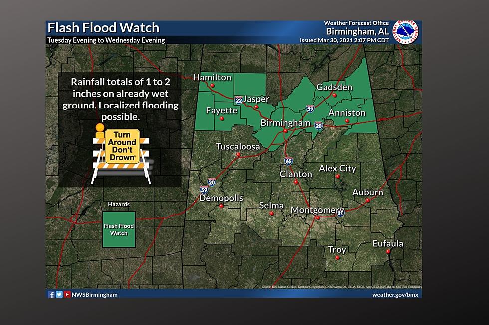
The National Weather Service in Birmingham has issued a Flash Flood Warning in effect until 11 a.m. today (Sunday, April 19th). The text of the warning is as follows:
The National Weather Service in Birmingham has issued a
* Flash Flood Warning for...
Chilton County in central Alabama...
Tuscaloosa County in west central Alabama...
Shelby County in central Alabama...
Bibb County in central Alabama...
Jefferson County in central Alabama...
Coosa County in east central Alabama...
* Until 1100 AM CDT.
* At 800 AM CDT, Doppler radar indicated thunderstorms producing
heavy rain across the warned area. Up to two inches of rain have
already fallen. Flash flooding is ongoing or expected to begin
shortly.
HAZARD...Flash flooding caused by thunderstorms.
SOURCE...Radar indicated.
IMPACT...Flooding of small creeks and streams, urban areas,
highways, streets and underpasses as well as other
drainage and low lying areas.
* Some locations that will experience flooding include...
Birmingham, Tuscaloosa, Hoover, Vestavia Hills, Alabaster,
Bessemer, Homewood, Northport, Pelham, Mountain Brook, Trussville,
Helena, Hueytown, Gardendale, Irondale, Leeds, Moody, Calera,
Fairfield and Chelsea.
PRECAUTIONARY/PREPAREDNESS ACTIONS...
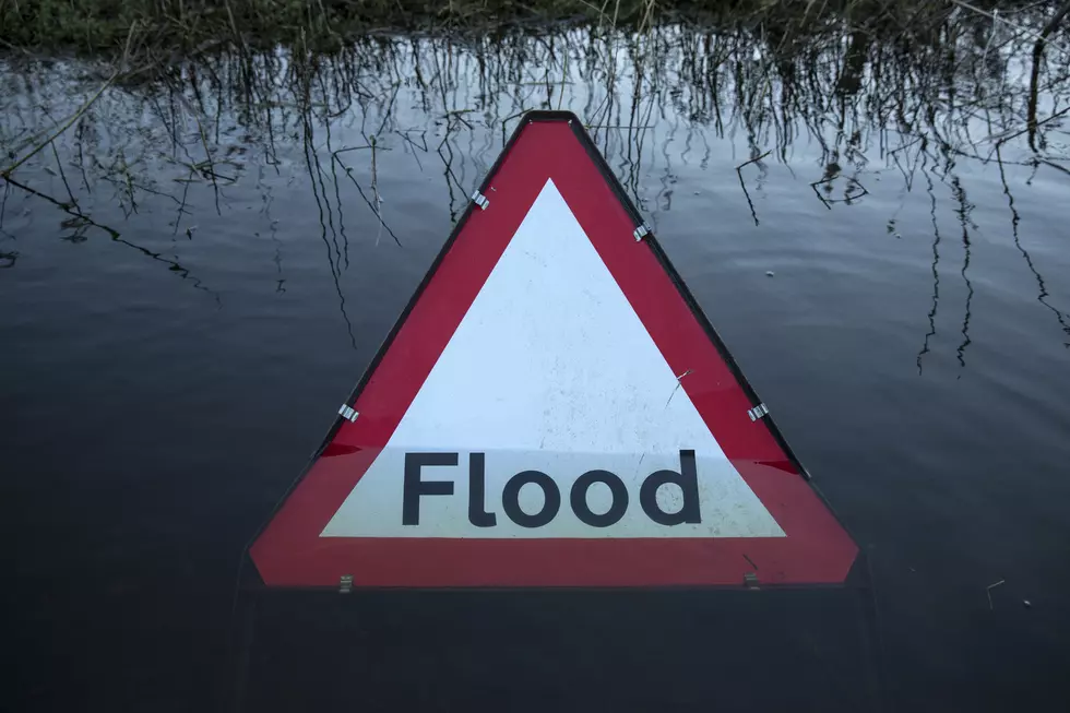
Turn around, don`t drown when encountering flooded roads. Most flood
deaths occur in vehicles.A Flash Flood Watch also remains in effect until 1 a.m. tomorrow (Monday, April 20th).
nws bham

Enter your number to get our free mobile app
More From 92.9 WTUG