
Storms, Strong Winds and Lightning Threaten West Alabama
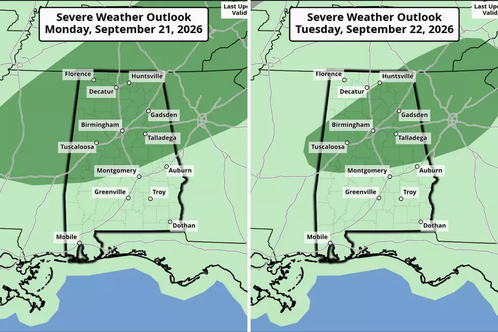
West Alabama residents should expect another round of strong to severe storms today, Tuesday, September 22.
The Storm Prediction Center has placed a good portion of Alabama under a “Marginal Risk” for active weather. Counties outside of the risk area could experience thunderstorms.
West Alabama Counties Under the Marginal Risk
Bibb
Fayette
Greene
Hale
Lamar
Perry
Pickens
Sumter
Tuscaloosa
Walker

Current Timing
The timeline for strong to severe storms is the same as yesterday, between 1 p.m. and 9 p.m. Residents with afternoon and evening plans should watch for changing weather conditions. And take my advice: grab your umbrella before you head out, or you could end up like me yesterday, making a mad dash to the car while getting soaked in the rain.
Possible Threats
The National Weather Service in Birmingham has the main threat of “damaging winds with gusts up to 60 mph.”
James Spann, Alabama Weather Network Chief Meteorologist, said there is also the risk of “small hail and very frequent lightning.”
Cooldown Ahead?
There is some relief on the horizon from the brutal hot conditions. Thursday and through the weekend, Spann said, "Heat levels come down finally. Highs drop into the low to mid 80s, with morning lows in the upper 50s and low 60s.”
Seasonal Fun Update
Hummingbirds are already migrating south through Alabama. Click here to learn when to expect more sightings and how to feed them safely along their journey.
Signs of a Bad Winter According to Weather Folklore
Gallery Credit: Mary K
2026 Hurricane Season Names
Gallery Credit: Mary K
25 costliest hurricanes of all time
More From 92.9 WTUG