
Strong Storms and Dangerous Heat Expected Across West Alabama
We’re facing another day of major heat concerns, along with the potential for strong to severe storms.
Let’s Talk Heat
The National Weather Service in Birmingham has issued a Heat Advisory until this evening, Sunday, September 6, at 8 p.m. You can also expect “warm and humid nights that will result in accumulated heat stress.”
Don’t forget that heat stroke is an emergency. Call 911
West Alabama Counties Under the Advisory & Expected Heat Index Value
Bibb
Heat index values as high as 108.
Fayette
Heat index values as high as 108.
Greene
Heat index values as high as 108.
Hale
Heat index values as high as 105.
Lamar
Heat index values as high as 108.
Perry
Heat index values as high as 105.
Pickens
Heat index values as high as 108.
Sumter
Heat index values as high as 108.
Tuscaloosa
Heat index values as high as 106.
Walker
Heat index values as high as 106.

Sunday Severe Weather Outlook
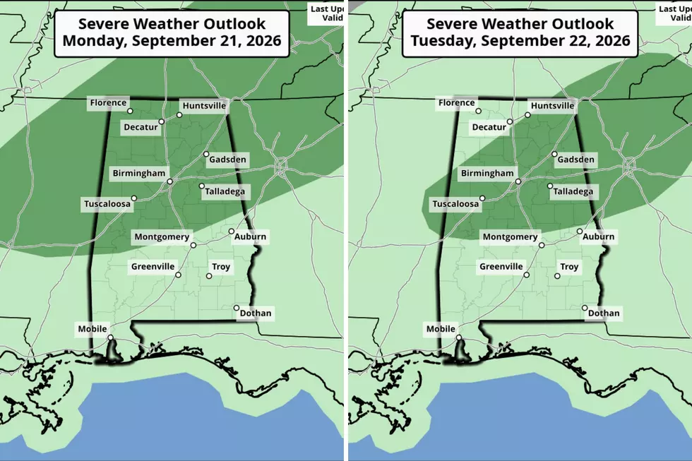
The Storm Prediction Center has placed West Alabama and nearly the entire State under a “Marginal” risk, a level 1 out of 5 for strong to severe storms.
The timeline for active weather is between “2 p.m. and 11 p.m.,” said the National Weather Service in Birmingham. Along with the threat of “damaging wind with gusts up to 60 mph.”
James Spann, Alabama Weather Network Chief Meteorologist, said that “Heavier storms will be capable of producing strong winds and lots of lightning. It won't rain everywhere, but where storms do form, they will pack a punch.”
Mary K. – Weather Forecaster
Signs of a Bad Winter According to Weather Folklore
Gallery Credit: Mary K
Amazing and Intriguing Weather Folklore
Gallery Credit: Mary K
LOOK: 50 cozy towns to visit this winter
Gallery Credit: Laura Ratliff
More From 92.9 WTUG