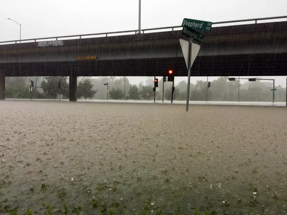
Flash Flood Watch in Effect Until 6PM Tonight for Much of Central Alabama
More rain is in the forecast today, exacerbating flooding concerns across the state. The National Weather Service in Birmingham has issued a Flash Flood Watch in effect for many of the counties in our listening area. The text of the watch is listed below.

Enter your number to get our free mobile app
...FLASH FLOOD WATCH REMAINS IN EFFECT THROUGH THIS AFTERNOON...

The Flash Flood Watch continues for

* Portions of central Alabama, east central Alabama, southeast
  Alabama, and west central Alabama, including the following
  areas, in central Alabama, Autauga, Chilton, Coosa, Dallas,
  Elmore, Lowndes, Montgomery, and Perry. In east central
  Alabama, Chambers, Clay, Lee, Macon, Randolph, Russell, and
  Tallapoosa. In southeast Alabama, Bullock. In west central
  Alabama, Greene, Hale, Marengo, and Sumter.

* Through 6 PM today.

* Additional rainfall amounts of 1 to 2 inches with locally
  higher amounts are possible in a short amount of time.

* Ongoing river flooding may be worsened and the high creeks and
  streams may affect the runoff of the new rainfall and produce
  flooding.

PRECAUTIONARY/PREPAREDNESS ACTIONS...

A Flash Flood Watch means that conditions may develop that lead
to flash flooding. Flash flooding is a very dangerous situation.

You should monitor later forecasts and be prepared to take action
should Flash Flood Warnings be issued.
More From 92.9 WTUG