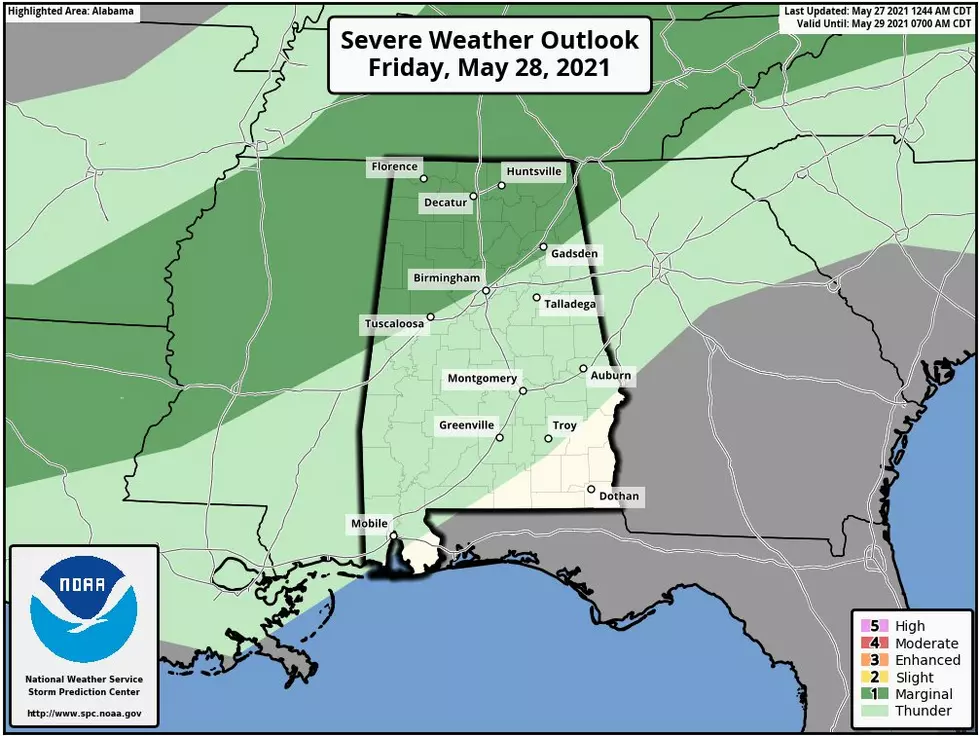
Upgrade to Potential Severe Weather in Central Alabama on Sunday
As promised earlier today, we would bring you any severe weather updates. The National Weather Service in Birmingham has issued an upgrade to the potential for Severe Weather in Central Alabama on Sunday. The main update is that there is a slight risk added for northwest Central AL. Also, the risk has been removed for far southeast Central AL. As well as the timing of the weather situation.

Area
All of Central Alabama except the far southeast counties. Relatively highest risk in the northwest counties.
Marginal Risk
Tornadoes possible
Damaging winds up to 60 mph
Hail up to quarter size
Timeframe for our coverage area
3 AM through 6 PM on Sunday
James Spann, ABC 33/40, and Townsquare Media Tuscaloosa Chief Meteorologist noted on Facebook that the “SPC has defined a "slight risk" (level 2/5) of severe storms for tomorrow night over Northwest Alabama, with a "marginal risk" (level 1/5) down to I-59. There is a "marginal risk" for most of the state Sunday. Thunderstorms Saturday night and Sunday will be capable of producing some hail and strong, possibly damaging winds. Based on the forecast wind fields, the tornado threat is low. Rain amounts over the weekend will be around one inch for most places.... the ground is saturated, and a few isolated flooding issues can't be totally ruled out.”
As always, I like to stress that weather information does change. Also, we will bring you any updates as news develops. The weather has many variables. It is always smart to stay weather alert, especially during severe weather season, which runs now until May.
(Source) Click here to follow the Facebook Page for James Spann. For more from the National Weather Service Birmingham, click here.
KEEP READING: Get answers to 51 of the most frequently asked weather questions...
Ways to Receive Severe Weather Information
More From 92.9 WTUG