Alabamians Stay Alert, Possible Severe Weather Threat Sunday
Editor Note: at 3 pm updated information in regards to the timeline.
Today, many Alabamians in areas that were hit with the tornado outbreak from Thursday are in clean-up, recovery, and restore mode. We are currently monitoring a system that can bring severe weather to our coverage areas on Sunday. Be sure to stay weather aware.
The setup for severe weather is coming from a cold front that will move through Central Alabama. According to the National Weather Service Birmingham, “environmental conditions appear at least marginally conducive for severe storms during that time.” This scenario could move Northwest to the Southeast. There is a concern for a higher probability of tornadoes in the Northern and Western counties of Central Alabama.
Please stay weather aware this weekend. Since this system will approach our coverage areas in the overnight and early morning hours, please be sure that you do not have your phone and alerts silenced before you go to bed. You will need to have access to information quickly. Also, have multiple ways to receive weather information.

Timing Outlook for Sunday
3 am – 1 pm
Areas along and Northwest of I-59
Along and north of I-20
9 am – 4 pm
Areas south of I-20
Threats
Tornadoes
Damaging Winds
Large Hail
ABC 33/40, and Townsquare Media Tuscaloosa Chief Meteorologist, James Spann commented on Facebook that he feels that the timing with “high-resolution data shows the line reaching the Shoals area around 2 am... I-59 (Tuscaloosa, Birmingham, Gadsden) around 6 am... and Montgomery around 11 am.”
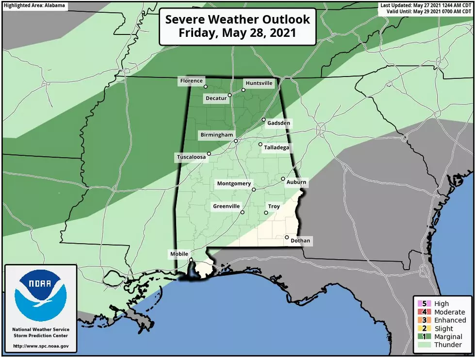
The Storm Prediction Center has our coverage areas in two different risk zones, slight (2 out of 5) and marginal (1 out of 5). In my opinion, regardless of your zone, be sure you are staying aware.
The Slight Risk area includes the extreme north and northwestern counties. This includes cities like Hamilton, Jasper, Double Springs, Oneonta, Winfield, Fayette, Sulligent, and Millport.
The Marginal Risk area includes locations around and along the I-59 corridor. This includes cities like Gadsden, Anniston, Birmingham, Hoover, Tuscaloosa, Reform, and Alabaster.
As always, I like to stress that weather information does change. Also, we will bring you any updates as news develops. The weather has many variables. It is always smart to stay weather alert, especially during severe weather season, which runs now until May.
(Source) Click here to follow the Facebook Page for James Spann. For more from the National Weather Service Birmingham, click here. For more from the Storm Prediction Center, click here
Severe Weather Terminology You Should Know
Ways to Receive Severe Weather Information
More From 92.9 WTUG


