
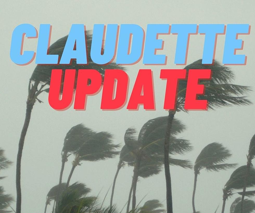
[PHOTOS] West Alabama Drenched After Tropical Storm Claudette
Tropical Storm Claudette made landfall in the Gulf region at the very beginning of the weekend. The storm is slowly tracking up the state and entered West Alabama Saturday afternoon.
Saturday evening saw a massive dump of rain, with some areas seeing up to seven inches of water. ABC 33/40 Chief Meteorologist James Spann is monitoring this storm carefully as it makes its way through the state.
As of around 8 p.m. Saturday, the system is parked right above the Northport area and will continue to precipitate for much of the evening. Venturing out, especially in a vehicle, is highly discouraged.
Below is a collection of photos and videos that West Alabama locals have posted on their social media accounts since storms began Saturday.
If you have a storm photo or video you want to share with us, submit your media through our mobile app.

Townsquare Media Tuscaloosa's Operation Storm Watch is brought to you by Safe-T Shelter. Visit their website here to see their selection of residential and commercial safe rooms and storm shelters. To contact a Safe-T Shelter representative, click here to visit their Facebook page.
Check out the latest radar models here:
If a tornado warning is issued in our area, Townsquare Media Tuscaloosa Operation Storm Watch will provide you with live and local team coverage, including wall-to-wall weather with James Spann.
To view the latest weather updates and information, click here.
TIPS: Here’s how you can prepare for power outages
KEEP READING: What to do after a tornado strikes
KEEP READING: Get answers to 51 of the most frequently asked weather questions...
More From 92.9 WTUG


