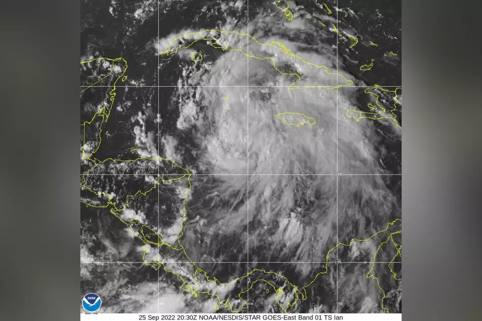
Ian Could Impact Portions of Alabama with Wind, Flooding
Townsquare Media Tuscaloosa has been closely monitoring Ian for several days now. We want you to remember that this information could change based on Ian’s track and strengthening.

What we are watching for is the development in the tracking of Ian. If Ian is to track farther west, this could increase the potential for impacts on our area. If Ian tracks farther east, this would lessen those possible impacts. My advice is to stay informed as information can and more than likely will be adjusted over the next 48 hours.
New Information
“Based on the current forecast track from the National Hurricane Center, parts of east/southeast Alabama could see minor impacts from Ian,” said the National Weather Service in Birmingham.
James Spann, ABC 33/40, and Townsquare Media Tuscaloosa Chief Meteorologist said that “the new NHC forecast track brings Ian into the coast southeast of Tallahassee Thursday night, well east of Panama City Beach and east of Apalachicola.”
Ron DeSantis, Governor of Florida, has “declared a State of Emergency in all 67 (Florida) counties and the State Emergency Operations Center is activated at Level One,” noted in Memorandum: Executive Order 22-219
What we know about Ian
A tropical storm watch has been issued for the lower Florida Keys by the National Hurricane Center.
Ian is projected to gain in strength and intensity quickly which will propel this system to enhance into a major hurricane.
According to The Weather Channel, “Ian is located in the western Caribbean Sea and is beginning to make its long-anticipated turn toward the northwest.”
National Weather Service Highlights
Tornado:
No risk at this time due to our expected position on the west side of Ian's circulation, a less-than-favorable area for tornadoes.
Wind:
What: Potential for sustained winds upwards of 20 mph and gusts upwards of 35 mph
Where: Mainly near the Interstate 85 corridor
When: Thursday into Friday
Flooding:
What: Potential for localized flooding
Where: Far eastern areas of Central Alabama, especially toward the Alabama/Georgia state line
When: Thursday night into Friday
(Source) For more from the National Weather Service Birmingham, click here. Click here to follow the Facebook Page for James Spann. Click here for more details from The Weather Channel. Click here for more from the State of Florida.
Amazing and Intriguing Weather Folklore
LOOK: The most expensive weather and climate disasters in recent decades
LOOK: The most extreme temperatures in the history of every state
More From 92.9 WTUG


