Possibility for Severe Storms on Thursday for Central Alabama
Preparation is key during severe weather season. There is the potential for severe weather in Central Alabama this Thursday, March 25, 2021. We are still few days out, and information, details, and timing could shift.
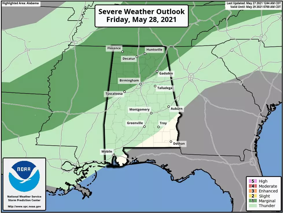
The National Weather Service in Birmingham has portions of Central Alabama under a slight risk and marginal risk areas.
Slight Risk Area
Tornadoes
Damaging Winds up to 60 miles per hour
Quarter size hail
Marginal Risk Area
Threats included in the slight risk area which are less likely but cannot be completely ruled out.
Also, on Thursday, there is a threat of minor flooding issues. Rain amounts could reach between two and four inches in Alabama.
This storm system can bring our area the threat of severe storms on Thursday afternoon through Thursday night. James Spann, ABC 33/40, and Townsquare Media Tuscaloosa Chief Meteorologist mentioned on Facebook that the Storm Prediction Center “has much of Alabama, and all of Mississippi and Louisiana in a severe weather risk on their "Day 4" severe weather outlook (in the Day 4-8 outlooks, SPC only offers probabilistic outlooks.)”
We are monitoring this system to bring you the necessary information on how the scenario shapes up. There is much to determine with the strength of this event and timing. I suggest that you are staying weather aware.
We are in severe weather season until May. It is always a great idea to have multiple ways to receive warnings. A great reminder is for nighttime and overnight events because that your mobile devices are not silenced.
(Source) Click here to follow the Facebook Page for James Spann. For more from the National Weather Service Birmingham, click here.
Ways to Receive Severe Weather Information
Severe Weather Terminology You Should Know
More From 92.9 WTUG


