Alabama Severe Weather Risk Updated: Possible Damaging Winds & Hail on Monday
The National Weather Service has provided updates on the incoming severe weather threat on Monday, June 1.
Current Timeline
“One or more clusters of storms are expected to develop northwest of Alabama and move southward through portions of Central Alabama, Monday afternoon and evening,” said the National Weather Service in Birmingham. In addition, mentioned that the timing and location of the storms are still uncertain.
Risk Areas
Also, the National Weather Service is monitoring developments to see whether "an upgrade from the current Level 1 out of 5 risk may be needed if confidence increases regarding a more widespread damaging wind threat."
The risk area is still at a level 1 out of 5 – marginal risk for a good portion of Alabama, which includes West Alabama.
Update Info on Risks
Currently, the main threat is “damaging winds, which may topple a number of trees due to recent rainfall and the preceding drought.” Also, the National Weather Service has decreased the hail threat to “large hail up to quarter-size.”
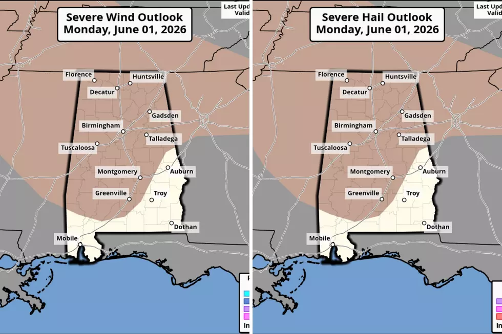
Severe Wind and Severe Hail Outlook
The probability of severe wind is 5 – 14%
Mary K. – Weather Forecaster
LOOK: The top small towns for taking in America's fall foliage
Gallery Credit: Stacker
LOOK: Every state's nickname and where it comes from
Gallery Credit: Stacker
LOOK: The history behind all 63 national parks in the US
Gallery Credit: Stacker
More From 92.9 WTUG