![Potential Winter Storm Impacts for Alabama [Message, Be Prepared]](http://townsquare.media/site/534/files/2021/02/Untitled-design-2021-02-14T080559.504.jpg?w=980&q=75)
Potential Winter Storm Impacts for Alabama [Message, Be Prepared]
[Message, Be Prepared]
The joys of winter in the Deep South! Today is the day to prepare. Many impacts can occur with a winter weather scenario. I will address specifically timing, temperatures, power, and road conditions.

Winter Storm Warning for Sunday, February 14th, starting at 6 pm until Monday night at Midnight for the following counties Fayette, Greene, Hale, Lamar, Marengo, Marion, Pickens, Sumter, Tuscaloosa, Walker, and Winston.
Winter Storm Watch for Monday, February 15th, starting at 9 am until Monday night at Midnight for the following counties: Bibb, Blount, Jefferson, Perry, and Shelby.
Timing:
Here is guidance from James Spann, ABC 33/40, and Townsquare Media Tuscaloosa Chief Meteorologist for the storm's timing. “The precipitation will come in two phases. The first round will come tonight; freezing rain or drizzle is possible for North and West Alabama as early as 6:00 pm… and will continue at times through daybreak tomorrow. This will be fairly light, but it won’t take much for bridges to become icy.
“The “main show” comes late tomorrow morning through tomorrow night, when freezing rain will become heavier and more widespread across the winter storm warning area. Precipitation will be over by 10:00 tomorrow night for most of Alabama.”
Temperatures:
The National Weather Service is calling for “temperatures in West Alabama will fall to 15 degrees or below Monday night into Tuesday morning, with wind chills in the single digits to near zero.”
Power:
The National Weather Service reminds us that “power outages can last several days.” Also that “ice weighs down trees and powerlines, causing them to fall.”
Road Conditions:
From my personal experience, ice is not a good situation. I remember the 2014 ice storm that left me at the radio station for nearly four days. I was grateful. We had shelter, food, and a blow up mattress.
The National Weather Service notes that “light freezing rain will be possible tonight over West Alabama. Accumulations of a glaze to as high as a tenth of an inch in the Northwest may cause slippery conditions, especially on bridges and overpasses.” The word “ice” makes me super nervous.
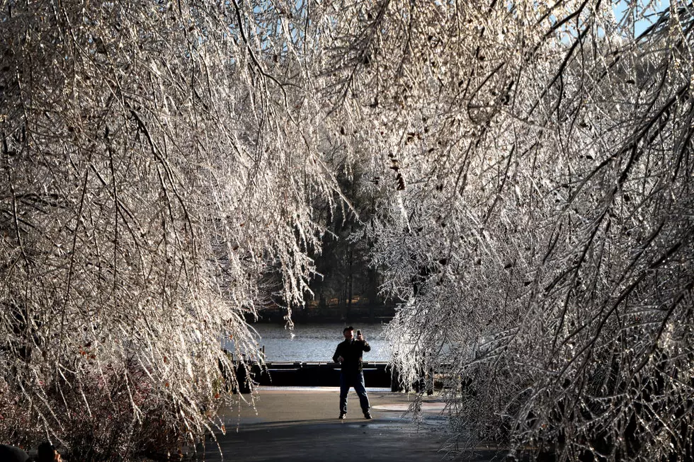
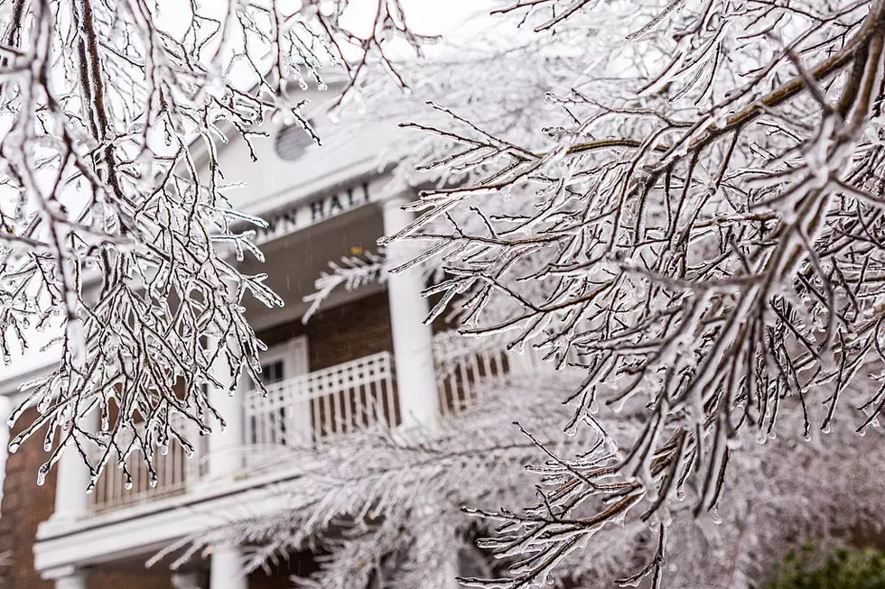
James Spann notes that “travel conditions will continue to deteriorate, and ice accumulation will increase on exposed surfaces, including trees and power lines.” Also, that “the big issue will be freezing rain in the winter storm warning area, but some sleet is possible, if not likely as well in spots. Ice accumulation of .10” to .25” is likely, with isolated amounts to .50”. Travel will become difficult, if not impossible, in many areas due to ice on bridges and road surfaces. Power outages are likely where heavier freezing rainfalls. This is a significant ice storm threat.”
(Source) For more from that National Weather Service, click here. For more from James Spann, click here.
Game Night Favorites
More From 92.9 WTUG


