Thursday, September 12th Weather & Tropical Disturbance Update
Thursday, September 12th Weather & Tropical Disturbance Update
Today sunshine will turn to isolated showers and thunderstorms in the afternoon. It will be another hot day with a high near 98. Tonight, you can expect mostly clear conditions with a low around 73.
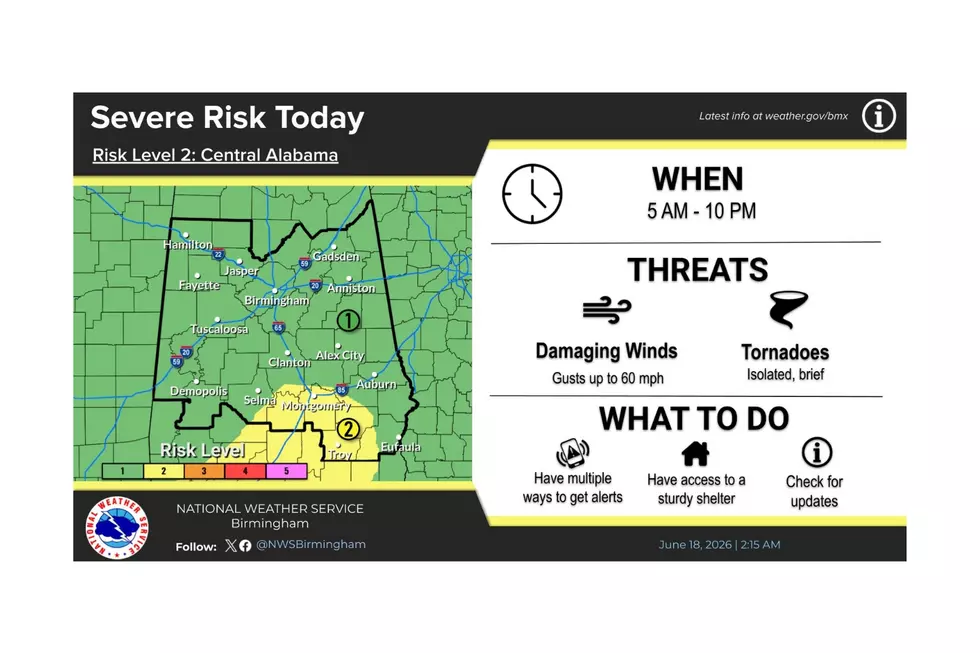
There is a good possibility of tropical cyclone formation over the weekend. As of right now, the thoughts are that this disturbance is moving slowly in a northwest direction. The current path places it across the Florida Straits, southeastern Florida, and into the eastern Gulf of Mexico. I am paying close attention to this system as it could have the potential to affect the Florida panhandle and Alabama coastline, stressing the word “could.” There will be more information provided this afternoon because the Air Force Reserve reconnaissance aircraft is scheduled to investigate the system this afternoon. Currently, models are showing that it will move northwest over the northern Gulf and moving onshore between Bay St. Louis, Mississippi and St. Marks, Florida (but that is still uncertain at this time). I believe that there is a good chance that this disturbance will classified as a depression by Friday.
More From 92.9 WTUG